About Bible Land Images

Bible Land Images exists to help people see the Bible through the geography, history, archaeology, and culture of the Holy Land.
The places where biblical events occurred are more than names on a map. They are real locations with landscapes, cities, roads, rivers, mountains, and archaeological remains that provide valuable context for understanding scripture. Seeing these places often transforms familiar Bible stories into vivid, memorable experiences.
This website combines original photography, satellite imagery, historical research, and educational resources to make the biblical world more accessible. Whether you are preparing a lesson, studying the scriptures, creating a presentation, or simply exploring the Holy Land from home, Bible Land Images is designed to help you better understand the people, places, and events of the Bible.
The site includes thousands of original photographs from Israel and neighboring biblical lands, along with maps, articles, books, and teaching tools designed to place scripture in its historical and geographical setting.
Bible Land Images serves teachers, pastors, students, tour leaders, and individual scripture readers from many Christian traditions. While the resources reflect careful historical research, their ultimate purpose is not simply to provide information, but to deepen appreciation for the people, places, and events through which God worked in biblical history.
We hope these resources will enrich your study of the Bible and help bring the world of scripture to life. Use the menu above to explore biblical sites, browse the photo library, discover teaching tools, or learn more about the books available through Bible Land Images.
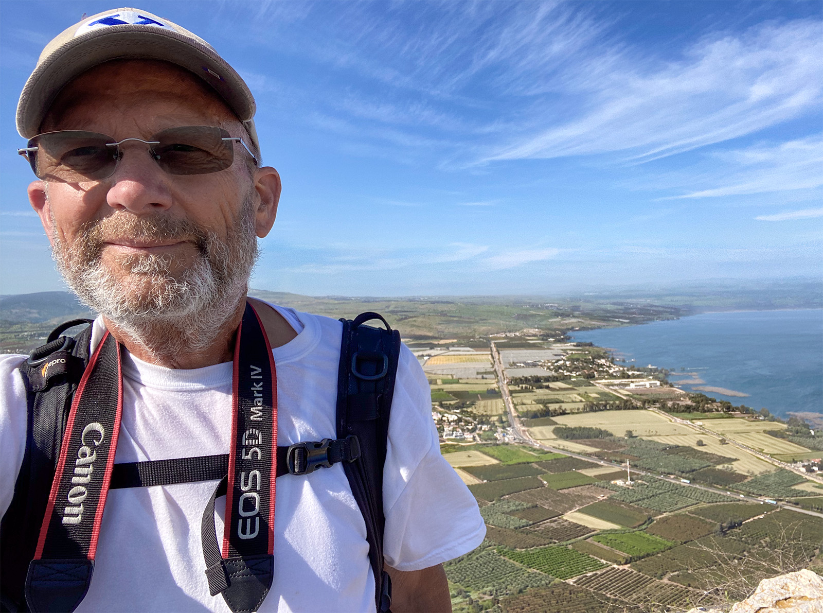
About Daniel Noorlander

I have spent much of my life studying, photographing, and teaching about the lands of the Bible. Since first living in Israel in 1979, I have returned many times to photograph historical sites, explore the geography of scripture, and better understand the world in which biblical events occurred.
Bible Land Images brings together those interests through books, photography, maps, and articles designed to help readers visualize the biblical world and deepen their understanding of scripture.
My Connection to Israel

My connection to Israel spans more than four decades. After first studying there through Brigham Young University’s study abroad program in Israel in 1975, I returned with my family in 1979 and again in 1984. Since then I have made numerous visits to photograph historical sites, study biblical geography, and explore the landscapes of scripture.
Returning in 2021 after a thirty-year absence was especially memorable. Shortly after arriving, I was able to enter the country despite COVID-19 restrictions. A few months later, while visiting a Druze village below Mount Hermon, I found myself caught in an unexpected snowstorm—something I certainly was not expecting in March.
Why This Website Exists

The purpose of Bible Land Images is to help people better understand the Bible through geography, history, photography, maps, and scripture.
Places matter. Mountains, valleys, roads, deserts, and cities often provide context that is difficult to appreciate from the text alone. By combining photographs, maps, and historical information, I hope to help visitors see the biblical world more clearly.
Continuing the Journey
Retirement has allowed me to return to some of my earliest interests. Today I continue to photograph biblical sites, develop new books and resources, and expand the Bible Land Images library.
As long as my health permits, I hope to keep adding photographs, maps, and studies that help others explore the lands of the Bible.